GEOL133 Final Paper: Providence’s Urban Heat Island

This was my final paper for GEOL1330: Global Environmental Remote Sensing, where I used ASTER thermal infrared data to quantify the urban heat island of Providence, RI.

Providence’s Urban Heat Island: An Analysis with ASTER and Thermal Truthing

Abstract

Understanding the urban heat island is critical for public health officials, urban planners and policymakers as they shape the future of cities. In this study, thermal infrared ASTER data is used to characterize the nature of the urban heat island in Providence, Rhode Island and how it relates to vegetation coverage. Temperatures in the downtown area on a 22°C August night are found to be approximately 2°C warmer than nearby suburban areas, and 3°C warmer than the closest rural areas. Temperatures are found to be inversely correlated with vegetation coverage as calculated using NDVI. Historical air temperatures are used to ground-truth the thermal data. These values are within the 1.5°C range of precision for the advanced AST_08 product, which takes surface emissivity into account, in eight of ten scenes. The AST_04 product, which does not take surface emissivity into account, severely underestimated air temperature in all cases.
Continue reading GEOL133 Final Paper: Providence’s Urban Heat Island
Block Island Field Trip

For my remote sensing class, we went on a ground-truthing trip to Block Island. In lab, we each did a region-of-interest supervised classification of some IKONOS data. The purpose of the field trip was to assess the accuracy of our classification. We lucked out on the date of the field trip and got perfect weather: clear skies and high 70s.

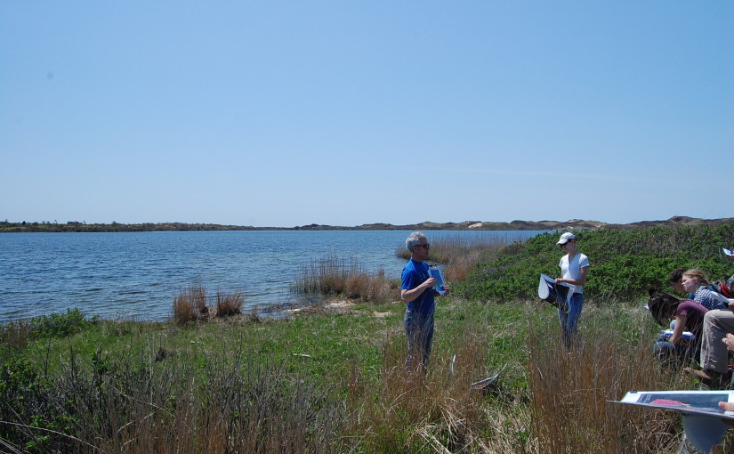
Using a few of the photos from Sachem Pond, I made my first panorama (Photoshop did most/all of the work). Considering I just used the automatic warp and default settings, it came out really nicely.

Sachem Pond, Block Island

Check out the rest of the photos below:

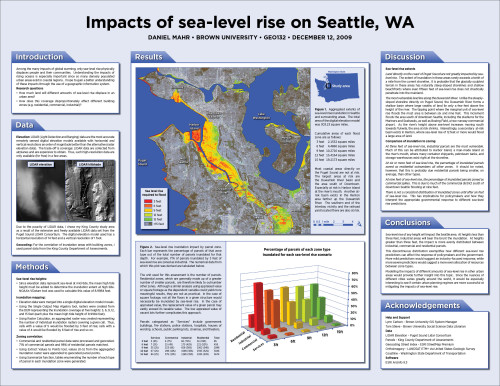
Impacts of sea level rise on Seattle, WA

Poster

This is a web-formatted version of my final project for GEO132. See above for the poster version.

Introduction

Among the many impacts of global warming, only sea-level rise physically displaces people and their communities. Understanding the impacts of rising oceans is especially important since so many densely populated urban areas exist in coastal regions. I hope to gain a better understanding of these impacts through the use of a geographic information system.

Research questions:

  • How much land will different amounts of sea-level rise displace in an urban area?
  • How does this coverage disproportionately affect different building zones (e.g. residential, commercial, industrial)?

Continue reading Impacts of sea level rise on Seattle, WA