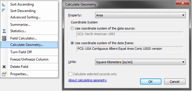
Calculating polygon areas is one of the most basic geometric operations. Most GIS analysts using ArcGIS are taught to calculate polygon areas in ArcMap using the Calculate Geometry tool in the attribute table. This allows the calculation of area in the coordinate system of the data source or the coordinate system of the data frame in the desired areal units.
The old calculate geometry tool
Although this tool fulfills most use cases, it falls short in a number of ways.
After upgrading to ArcGIS 10.3 last week, I went through the usual process of reapplying all of my settings and preferences in ArcMap. To expedite this process, a couple years ago I created a list of all of my preferences in ArcMap: toolbars, ArcMap Options, Geoprocessing Options, menu items, Environment Settings, and Advanced ArcMap Settings. At the suggestion of some of my colleagues, here’s the list in full.
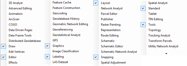
There are almost 50 other toolbars that can be added by right-clicking in the header area (or toggling in the Customize dialog).
List of ArcMap toolbars
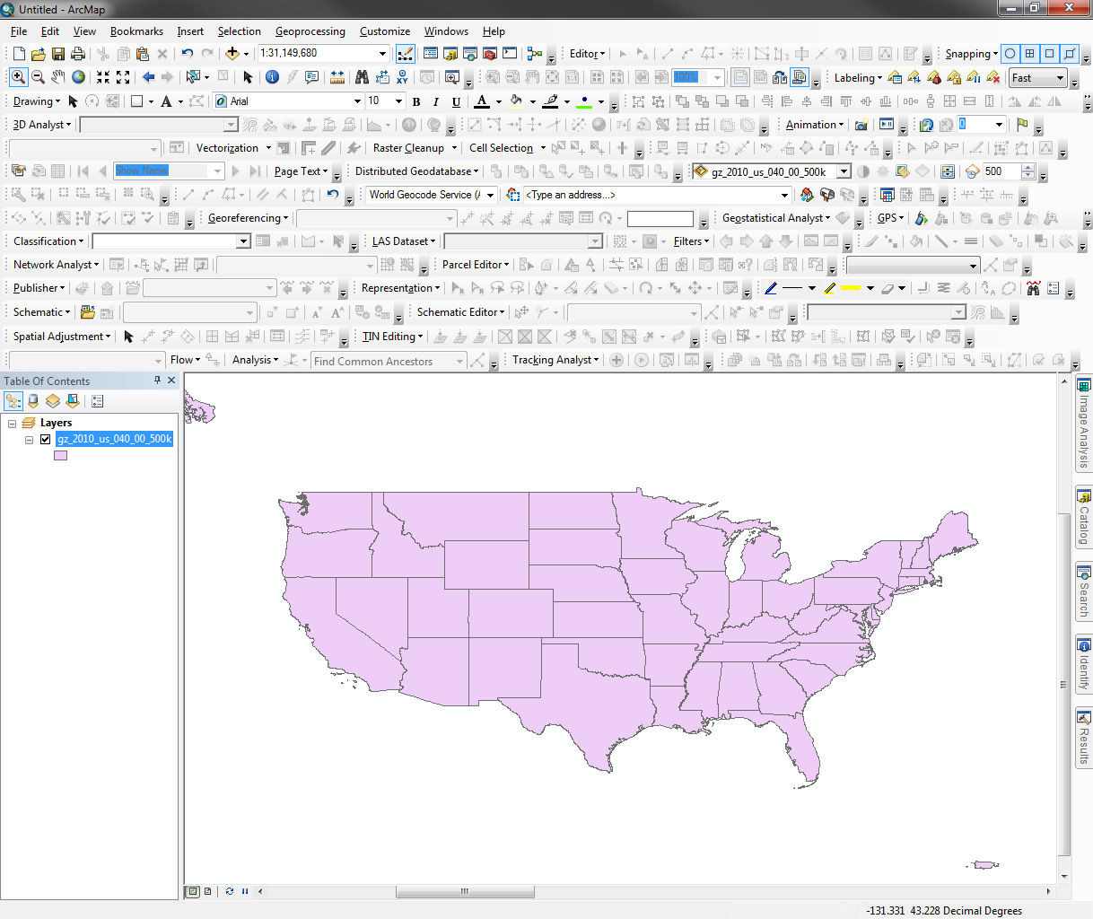
But turning them all on at once is not a good idea. This overload of toolbars, many of which are only useful in specific contexts, is one of the reasons Microsoft moved Office to the ribbon-style UI. Esri has implemented the same ribbon in ArcGIS Pro, though I will miss some of the customization aimed at power users.
ArcMap with all toolbars turned on…yikes
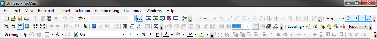
So for my day-to-day ArcMap work, I have the following toolbars enabled: Standard, Editor, and Snapping in the first row; Tools, Layout, and Labeling in the second row; and Draw and Graphics in the third row. Organizing the toolbars in these rows allows for a comfortable fit in a window that is around 1,200 pixels wide.
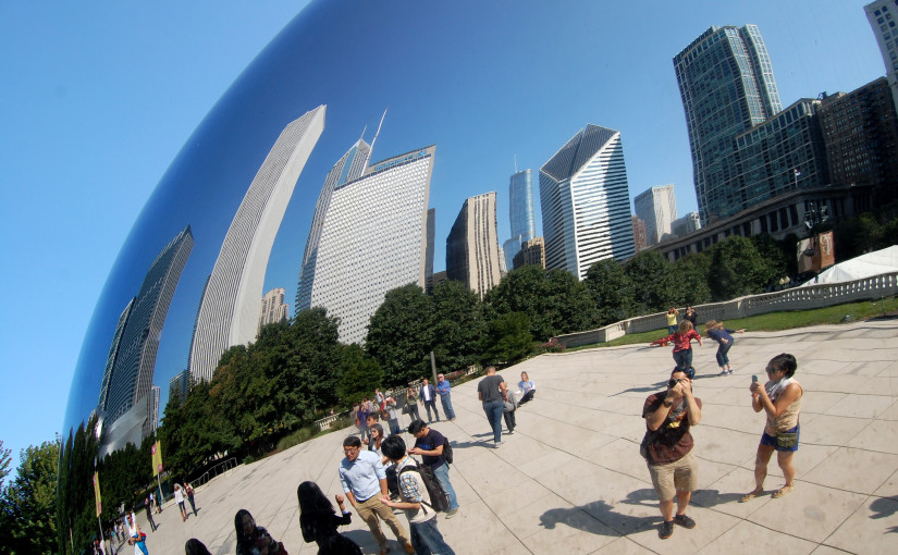
Sarah and I visited Chicago for the first time in September 2014. Neither of us had ever been before, and it was a treat to explore a new city and see old friends.
We flew from Logan to O’Hare early Friday morning, arriving in The Loop by midday. Our hotel room at the gorgeous Blackstone Renaissance was already available, so we dropped off our bags and set out for some lunch.
 Dan Mahr